I can't quite understand how taking the payment zones off a map makes it more useful as many of us we don't know where they are without seeing the map. And losing the Thames? Daft if you ask me. Which scarily means I now agree with the Mayor of London.
Thursday, 17 September 2009
Should it Stay or Should it Go?
There is outcry in London. The River Thames has disappeared. OK, not permanently, but from the Transport for London Tube maps. They decided that the Thames and the payment zones created too much clutter so they were taken off.
I can't quite understand how taking the payment zones off a map makes it more useful as many of us we don't know where they are without seeing the map. And losing the Thames? Daft if you ask me. Which scarily means I now agree with the Mayor of London.
I can't quite understand how taking the payment zones off a map makes it more useful as many of us we don't know where they are without seeing the map. And losing the Thames? Daft if you ask me. Which scarily means I now agree with the Mayor of London.
Thursday, 10 September 2009
From A to B - But Where is B?
A long-standing friend rang me up today with a geo connudrum. OK, it may be obvious to land lubbers but for us hydrographers puzzles like this confuse us...
When road signs say x miles (or km for my more enlightened readers) to a town/city, where is the the point to which they are measuring?
Ie, I know where A is but where's B? It's pretty straight-forward for a standard cute British village with the village green, church and pub (you can find the middle +/-100m easily) but where is the centre of London, Sydney, Paris? Or are road signs a bit of a hit and miss affair?
Answers on a blog please...
Tuesday, 8 September 2009
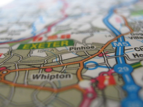
Arty Map
Just found this picture on our camera. I think my husband took it. I like it - it's nice and arty farty in a blurred sort of way.
Subscribe to:
Posts (Atom)