Friday, 26 February 2010

And It's Off...

A survey in support of the Marine Electronic Highway (MEH) in the Malacca Straits, has kicked off.

A MEH combines an Electronic Chart Display and Information System (ECDIS), an Automated Identification System (AIS), shore-based marine information databases and advanced ship-to-shore communications. You can read more about it here. As part of the development of the MEH in this region additional surveys are being carried out to improve the source data for the charts. One Fathom Bank is being surveyed this month.

It is vital that these critical shipping lanes, which are some of the busiest in the world, are well surveyed. You can have the best ECDIS, AIS and comms in the world but with poor source data, eminating from old surveys, you can only rely on the chart so far. Better surveys = better source data = better navigation information for the Mariner. Job done.
Monday, 22 February 2010

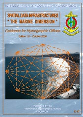
Marine SDI - IHO Guidance

I've only just come across this guidance for Hydrographic Offices on Marine SDI. It's not a bad read. Quite gentle on the spatial data infrastructure topic but without dumbing down.

Sunday, 21 February 2010

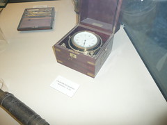
Nautical Finds at Gibalfaro

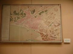
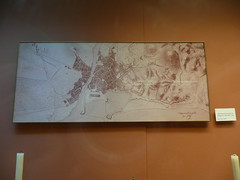
On a recent family holiday in Spain we were in Malaga's Castle, Gibalfaro, and came across some interesting navigation and surveying pieces.

I enjoyed the maps of Malaga

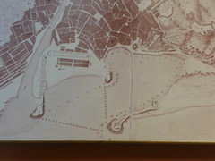
and even spied some soundings cool

But the most interesting exhibit, in my humble opinion, was this blackboard.

The noble art of navigation indeed.

Sunday, 7 February 2010

iPhone Apps Galore

Now this is an interesting iPhone app. Of course, not at all suitable for accurate surveying but what a fabulous reccie tool!

And I also came across iChart recently. This is equally good fun. Sure, not to be used for navigation all, but it was bound to happen at some stage. cool You can see the yachtsmen (and yachtsmen women hopefully) chat about it on Yachting and Boating World.

Friday, 5 February 2010

Eye on Earth

My standard Friday night googling on the PC has bought up this link on environmental observations (reported by the BBC here). Another mash up of sorts. It seems to be quite embryonic hence the minimal reviews on it from 'the people' but I do so love the way that geospatial data is becoming the norm as a backdrop/tool for anything like this. Good stuff. cool

Wednesday, 3 February 2010

Haiti Mapping Relief Online

Online mapping helps Haiti relief effort - read the report at The World.

I have to thank a surveying friend in the US for this - ta Derek cool.

In fact I'm getting remiss. My blog yesterday was also triggered by an e-mail from another surveying friend in the US - Don this time. If this carries on I won't have to do any thinking myself!

Monday, 1 February 2010

Now You See It - Now You Don't?

The headline is not as bad as it seems as it's 4 lighthouses out of many. However it seems to be setting a dangerous precedent. I'm sure that mariners use these lighthouses more than some think, if only for reassurance rather than anything. I wonder what the outcome of the consultation will be. At the end of the day it comes down to money and risk. Yes, switching them off will save money, but will it increase the dangers to mariners significantly? If the answer to that is 'yes' then they will stay but time will tell.