I suspect this will turn out to be Roads and Routes Part I, but I wouldn't want to presume I have too much to say on this. However I'm currently reading, in a pick-up-and-put-down sort of way, my Christmas present from my Dad, Mapping the Roads.
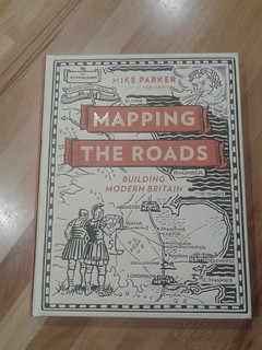
It is a lovely exploration of how UK roads were mapped over the ages, although I confess I'm only up to page 42 so I'm just set for the transport revolution of the 18th century. Stagecoaches start to rule, the state of the roads improves enormously (or it could be the other way round) and mapping keeps up.
I was in Barnstaple last weekend and bumped into a turnpike sign.
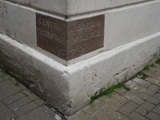
Barum is the Roman name for Barnstaple. And I couldn't help but smile to note I got a benchmark in the same shot too.
Next up is a modern day version of road markings. This was in Combe Martin an hour later and shows underground utilities markings aplenty.

Now if we had a really great underground data model, shared by all utilities companies and with accurate 3d mapping the word "approx" would no longer need to be sprayed on our roads.
And between the 18th century and the spray paint utility engineers of the 21st century I've a bit of reading to catch up.
No comments:
Post a Comment