Saturday, 14 May 2011

3 Trigs and a FBM/Passive Station

A treat of a day today. A surveying friend visited and, as expected, the lure of some trig pillar bagging was too much. Derek was game as I'd anticipated so we headed west out of Exeter to find a few.

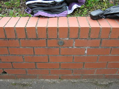
First off was the trig pillar which fooled me a few months back. The trig I thought was a trig appears to be some geodetic control for a reservoir. Anyway, it was an easy find, so Constitutional Hill all bagged now. Fantastic views of Exeter from this ridge (give or take the odd branch/folliage).
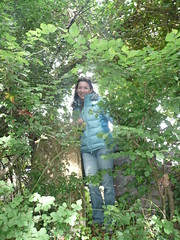
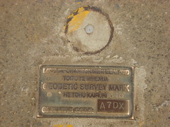
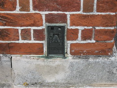
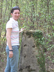
Next was a treat - a FBM and passive station. Nicely hidden in nettles but a gem. Neither Derek or I have seen one of these before. Fun eh?

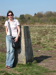
Then it was back to regular lumps of concrete and we picked off Bilsdon Trig. What a view!
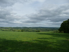
The girls (my daughter and a friend) were starting to show the strain of this geeky hunt,
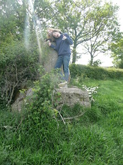
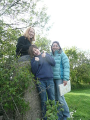
but they were polite enough to show interest in Derek explaining the spider to them. wink

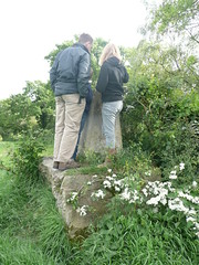
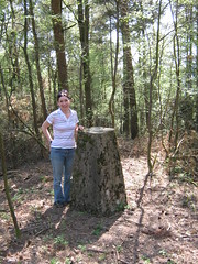
And finally we visited Waddles Down for our last trig of the day. Derek climbed up to inspect and found a bunker the other side of the hedge.
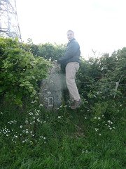
Not sure if it's a military bunker or something to do with the mast compound next to it (? doubt it).
Anyway, happy happy days. cool

Saturday, 7 May 2011

Kiwi Trig

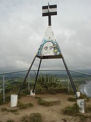
Isn't this a beauty? Captured by my Fugro friend, Don, on a recent trip to New Plymouth, New Zealand.


Not quite sure if it's sad or exciting that my friends e-mail me things like this!

Friday, 29 April 2011

Hydrographic Charting

A few things have cropped up in my inbox recently about charting.

The first one was about the perceived accuracy of electronic charts and the IHO survey which is running. Now accuracy of charts - or, more correctly, the accuracy of the source data - has been one of my career mantras. Metadata is oh, so, unsexy but so, so critical and often gets overlooked. Just because a chart is digital doesn't mean it's any better than a paper version. Indeed, just because a chart is metric doesn't necessarily mean it has any/much more data than the fathoms version. It's all down to fitness for purpose and the user knowing what they have. I've had many conversions with Mariners who have said (after they hit charted feature) "but I didn't know the paper chart wasn't on WGS84 Datum!" "Did you read the chart notes?" I'd enquire? "What chart notes?" was the response. Give me a brick wall and I'll bang my head against it.

The second one was a new book, The Electronic Chart which is now on its 3rd edition. ENC and ECDIS display issues are becoming quite a hot potato and I wonder how much this book covers it. Perhaps I should buy one and read it!

I'm also realising I'm not such a geek as I thought. Or perhaps I just hang out with geeks. On a recent car journey with an RN hydro surveyor he admitted that when shore-side the first person to spot a trig/benchmark had to be bought a beer. So it's not just me that goes around looking at pavements and walls then...

Sunday, 17 April 2011

Cardiff Benchmarks - Devon Trigs

Just enjoyed a very happy few days up in Cardiff with my girls. Met up with a surveying friend who showed us the sights. As you'd expect we managed to stumble across a few geo items...

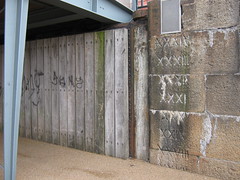
Cardiff Bay has been extensively regenerated, but I liked the way the old was now part of the new development.

We sat to have lunch and realised we were perched on an Environment Agency benchmark.

Not sure why they didn't just use the benchmark across the road?

The Taff obviously floods here.

And today, in Devon, it's gloriously sunny. I was down to one child so lured her out with lunch at Otterton Mill, a Waitrose shop (!?) then trig pillar bagging. Three in one day is good going and Caitlin had some good map reading experience.


Friday, 8 April 2011

AUV Treasures

Enjoyed a geeky day at Ocean Business on Wed. I had some business to conduct and valued the opportunity to be out of the office in what I consider to be a rich learning environment. Not only are there lots of gadgets to see, there are contacts both new and old to meet; providing oodles of tit bits into the world of hydrography and the broader marine world.

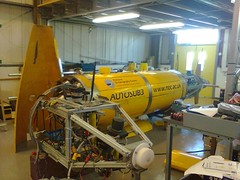
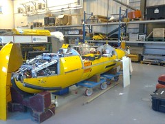
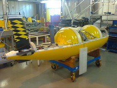
Spent some time talking with colleagues at NOC (National Oceanographic Centre) about their glider programme. I then got the best invitation of the day from a chap which was "do you want to come and see my big toys?" So we went down to one of the NOC labs and he gave me a whistle stop tour of their AUVs, Autonomous Underwater Vehicles. Not to be muddled, of course, with UAVs, Unmanned Aeronautical Vehicles.

They have three AUVs at NOC. Their first could only disappear for 4 days or so before the battery ran out.

The second would last at least twice as long and was rechargeable. It can dive to 6000m.

And their latest and greatest can travel 6000km, dive to 6000m and potentially last 6 months without a battery refresh/recharge. Impressive.

I chatted to CARIS about their oceanographic charting capacity (developing...), Lockhead Martin about their Sippican XBTs and XSVs, Fugro Pelagos about emerging geospatial opportunities,
Ferry Box, Shark, about their underwater technology, OSIL about equipment support etc. You can see the fun I had can't you?

Only a year until the next one now...Oceanology 2012.

Friday, 11 March 2011

Chasing the Tsunamis

Following yesterday's horrendous earthquake in Japan yesterday you can follow the tsunami warnings running across the Pacific at the National Data Buoy Center. The flashing diamonds indicate a tsunami warning. I have never seen this website with more flashing diamonds than static until today. Check individual diamonds around Japan and you can see real spikes of data. Each spike is a simple measurement - a simple measurement of amplitude that can wipe out people's livelihoods in a second - a bland statistic that can be a measure of death toll.

Earthquakes, tsunamis - environmental phenoma with serious impacts on people. I suspect Map Action will be in full swing already.

Wednesday, 9 March 2011

Loch Lomond Map Falls Foul of Locals

Oh dear. It's not the first time but it is vital to check local names before publishing a map. Or else you get this. For sure, Ruth Rapids and Adams Abyss would be terribly flattering (sic) but it should only be done if (a) no other name is in use for that feature and (b) it needs labelling at all.

Maybe this would have helped?!