A light-hearted blog about all things geomatic as seen through the filter of Ruth Adams, a chartered surveyor. It won't be comprehensive, it'll be hydro biased but, hey, it may make you smile ;-)
Thursday, 17 January 2008
The Sahara Desert
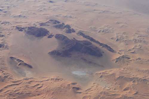
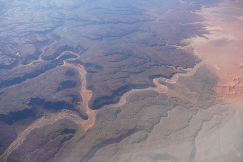
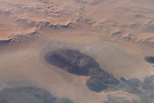
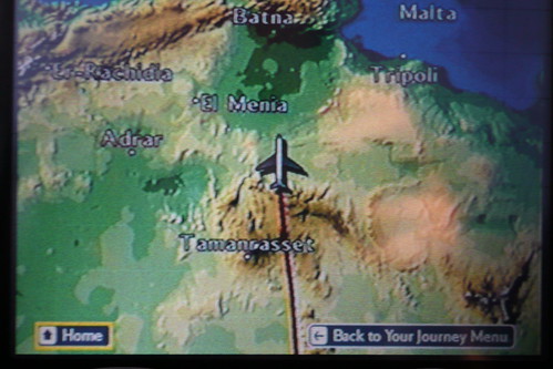
When we were flying back from Cape Town my husband took some great shots of the Sahara Desert (click on them to find the lat and long). I love these pictures. They so remind me of side scan sonar images.
Anyway, what is more impressive is that using a combination of BA's inflight map and Google Earth he's geo-referenced them. I'll make a surveyor of him yet .

1 comment:
Is is not that side-scan sonar images remind you of a desert?
Post a Comment