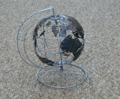
Not only does it spin but it will be great for showing all those, as yet, geodetically unenlightened what lines of latitude and longitude are! I'm taking it into work tomorrow.
Later tomorrow I'm off home on the train with my girls. My elder daughter has just discovered a new game (honestly, not my idea) which she calls "grid references". The game apparently involves me giving her a grid reference and her working out the symbol, or me giving her a feature and asking her to give me the GR. She can't wait to play it on the train tomorrow with her OS map. Long live enthusiasm for maps!
2 comments:
I use grid references to indicate where some of my more remote water meters are but I still have to check whether easings or northings come first. Is there an easy way to remember it?
Eastings come first. Analytically you could say it's in alphabetical order, but most people remember it as "going across the hall (ie eastings - horizontal) before going up the stairs (ie northings - vertical)".
Post a Comment