It's not her fault but my daughter isn't well so the planned trig bagging session didn't come off and, indeed, I've been more-or-less house bound for the weekend whilst looking longingly at the beautiful sun outside.
So in a bored moment I uploaded some photos. These relate to the Geomatics PG we had on 09 Dec, the day of the student demonstration/riot. I wrote about it here.
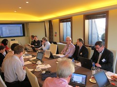
Working hard...
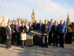
Us on the RICS terrace - before we hung over the edge to get a good look at the riots.
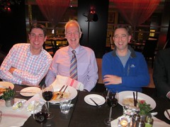
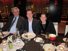
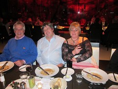
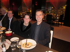
And at dinner afterwards.
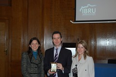
I went up to London on 10 Jan for a re-run of Martin Pratt's Michael Barrett Award lecture. A fascinating insight into the world of boundaries - both offshore and onshore. He spoke of the unending connundrums of interpreting old, small scale, datum-free maps and relating them to the modern landscape. Boundaries are easy to draw when you have no knowledge of the geography of a region - but closer inspection of the physical geography, land use, settlements - give a complex picture to unravel. And even if the surveyor knows the optimum solution, trying to explain geodetic concepts to a legal advisor can sometimes be the biggest challenge.