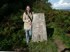
I am delighted that my annual leave has coincided with some superb summer like weather in the UK. The trigs are just calling out to be bagged.
My first was a nice easy one, Dumpdon Hill. I somehow missed the easy path up and struggled through gorse to find my goal.
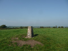
Self portraits are always hard when you're alone and there are no convient perches to place the camera for a self-timed shot.
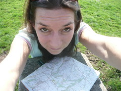
As if I need to prove I've been there eh?
Once at the top I found the stupidly easy path back down which lead straight to the car park. Doh.
I then headed for Lowman's Farm which is a killer to find apparently. It's on a busy, fast road so you can't park easily. And, more importantly, the local golf course has removed the hedges which are my reference points for finding something hidden in brambles. I shall have to go back with the GPS. I feel it's cheating but there you go.
And my second failure was Broad Down. This was a spur of the moment trig which I must stop doing! If I'd read up on this trig I would have known that it has been moved so I was never going to find it. I had a bramble fight for nothing. It was a challenge to get to (or to the spot where I thought it was meant to be) and I had to climb a fence and avoid all plants spiky - which I miserably failed to do. There was also a helicopter overhead. It passed once then came back directly overhead at a lower altitude. I decided that even if it wasn't MI5, I was starting to look a bit suspicious and headed home.
A light-hearted blog about all things geomatic as seen through the filter of Ruth Adams, a chartered surveyor. It won't be comprehensive, it'll be hydro biased but, hey, it may make you smile ;-)
Thursday, 29 September 2011
Sunday, 18 September 2011
Peak Hill Sidmouth
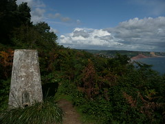
It was a gorgeous day yesterday. Rog and school kids were at Ladram Bay with Duke of Edinburgh training so my parents and I popped out to see them. My parents live in Basingstoke so a visit to the beautiful Devon south coast is a treat. And for me as well - I never tire of this county.
I realised we were only 1km away from High Peak trig so I just had to go and bag it. I dragged my Mum up too. I think she likes these 'interesting' walks I take her on. She seems to remember Dorcester with fondness. "You kept taking me off on walks to discover something surveying related," she recalled.
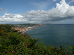
There is a superb view from the trig - look at this.
Happy days.
Wednesday, 14 September 2011
Geograph
A benchmarking friend of mine (see? I do have some) sent me the link to Geograph today. It is an OS-sponsored website which collates photographs of every grid square in the UK - National Grid square to be precise. The term is 'geographing'. It's like a mini version of the Degree Confluence Project. I'm not surprised the OS sponsored this site; it's free (or pretty much free to them) crowd sourcing, but neatly organised into OS-speak. By this I mean, it functions around grid squares which land mappers in the UK are very happy with but for others, such as myself who think in lat/long, it drives me potty.
Can't blog for long, I'm off to play games with Perdita the Geograph hamster. Honestly!
Thursday, 1 September 2011
UN GIS Committee
Read that the UN Economic and Social Council have set up a committee on global geospatial information. It's obviously great that the UN have taken this onboard. I quote the Secretary General who proposed that
"the UN take the lead role and serve as the coordinating entity of the global geospatial information community, hence the decision to create the committee."
There's a little voice inside me though that is saying 'horse - stable - bolt'.
"the UN take the lead role and serve as the coordinating entity of the global geospatial information community, hence the decision to create the committee."
There's a little voice inside me though that is saying 'horse - stable - bolt'.
Subscribe to:
Posts (Atom)