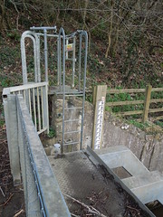
However, looking up the path, I noticed that the tide markers didn't appear right. Now, admittedly, I didn't have a level with me, but considering the metres were sequential up the hill, there was certainly not 1m height difference between each marker.
I am now wondering, when the Environment Agency measure the height of the river (see here) whether they are using their dodgy water level markers or something more accurate.
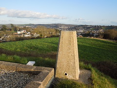
Anyway, a less puzzling find was a lovely trig at Highweek Reservoir.
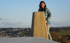
And an added bonus is that I managed to work out the self timer on our new camera. Will wonders never cease?
I'm off for a major trig bag next weekend. Brace yourself audience (all one of you?).
No comments:
Post a Comment