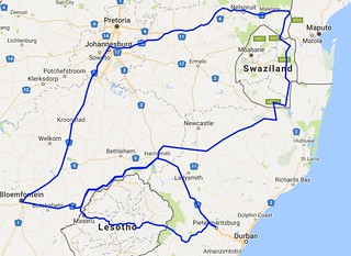
I recently travelled to South Africa on business and had the fortune to journey to both Lesotho and Swaziland whilst doing this.
All in we drove over 2500km starting/finishing in Johannesburg.
Clarens is an attractive town the Free State.
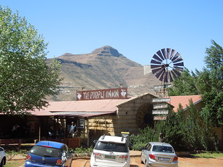
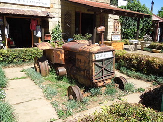
It is full of craft shops, cafes and relics from the past.
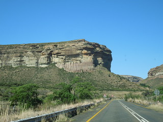
We drove through the Golden Gate Highlands National Park twice - stopping there the first time.
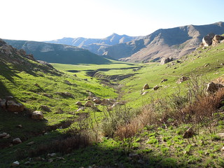
The rocks turn gloriously gold at sunset (just use your imagination).
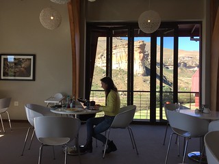
Not a shabby place to pause and work.
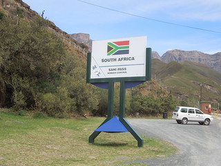
After business in Pietermaritzburg, in which we didn't linger, we overnighted at Himeville and then drove up the wonderful Sani Pass into Lesotho.
My first border crossing of the trip. Many more to come.
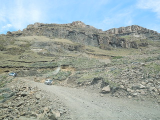
The going got tougher as we ascended.
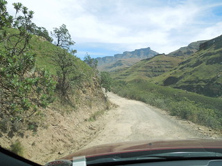
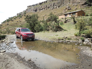
And the views got more spectacular.
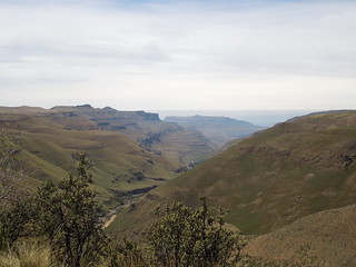
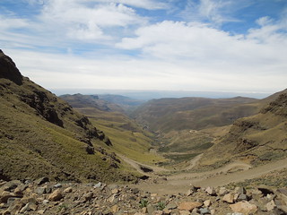
You are only allowed entry to the Sani Pass if you're in a 4x4 or on a motorbike (non pillion). However we did also see someone jogging up it and I'm sure it'd be a wonderful mountain bike route too.
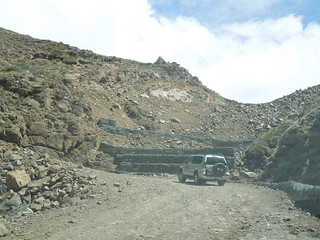
It's a popular tourist outing: a run (in a 4x4) up the Sani Pass and back with lunch at the top.
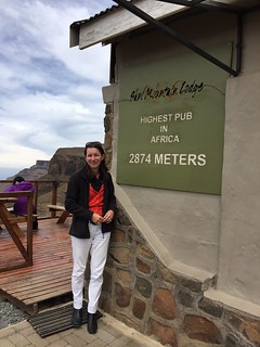
At the top of Africa ... pub wise at any rate.
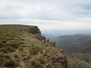
The view from the balcony shows a series of white cairns which Martin's team surveyed in some years ago. They mark the South African/Lesothon border. You can make out one in the left/mid distance side of the image.
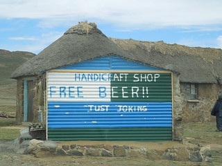
After tea and soup at the Mountain Lodge we headed on into Lesotho. Lesthon humour.
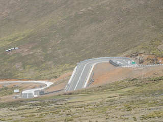
Martin's team surveyed this road a few years ago. It was the first time he'd driven it since it had been tarmaced so I took lots of photos to show our surveyors in Swaziland. It was the first time our Swazi surveyors had woken up in their tents, thought it was a tad nippy, then had to dig themselves out of the snowdrift.
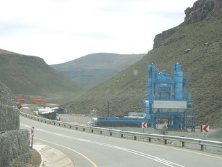
The Chinese bequeathed their rock crushing equipment to Lesotho when they finished road construction. Saves having to dismantle it...
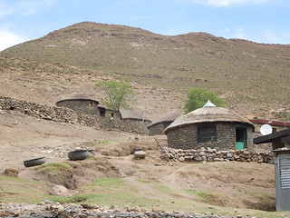
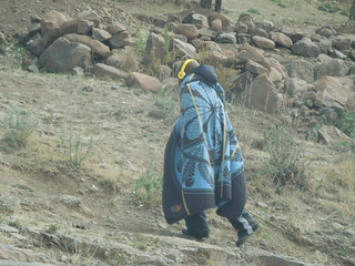
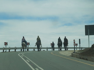
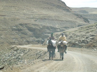
The Sotho population live in these high mountains, tending sheep, cattle, goats and surviving on what they can. I saw few plants and I suspect most of their crops have to be frost hardy. The topsoil is only centimetres deep.
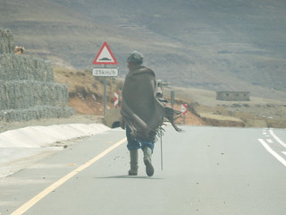
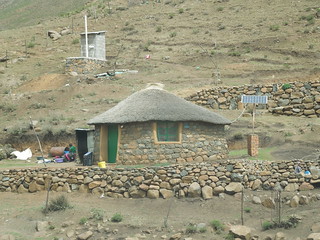
There has obviously been investment in some areas such as these solar panels.
Once the Chinese road had finished, we were onto dirt track for the majority of our journey.
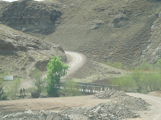
Dry, desolate with zero road signage. We sort of followed our nose and hoped we were heading the right way.
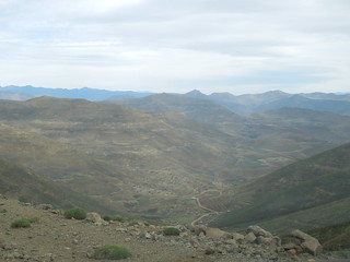
Maps are rare, our sat nav was pretty hopeless (it had no differentiation between "A" roads and village tracks) so occasionally we found an English speaker who'd point us onwards.
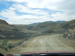
Parts of the road had inclines of 20% and were strewn with rocks. And this was the A road.
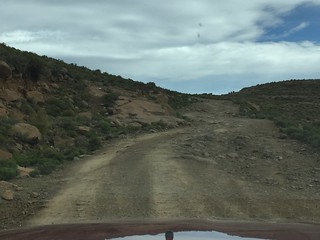
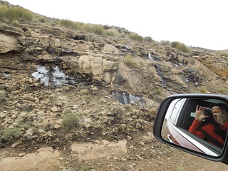
Ice!
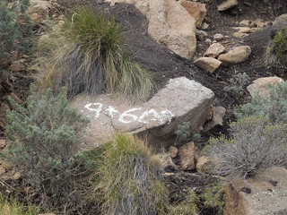
Occasionally we'd follow a set of survey markers ready for the next upgrade of the road. Here we were 9600m to the next road junction.
Satellite dishes appeared further down the valley.
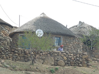
As did the ubiquitous tin-shod drop toilets which adorn the hillside villages.
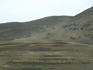
After hours of bumping and jostling our way over the rocks, zigzagging our way up and down valleys, we spied tarmac. Yay! Sadly it was short-lived and only covered the bridge span.
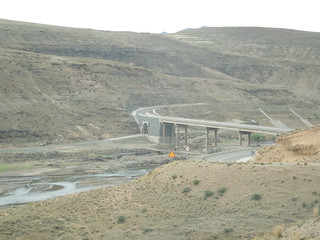
We met the Orange River. This is the lowest Martin has ever seen it which reflects the longest drought that southern Africa has had for 35 years.
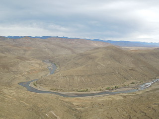
Great views as the sun set that evening.
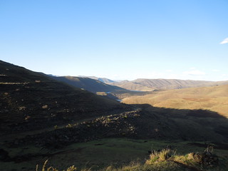
When we left Lesotho we took the quick route out - tarmac roads towards the northeast and the capital, Maseru. Look - smooth - straight.
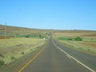
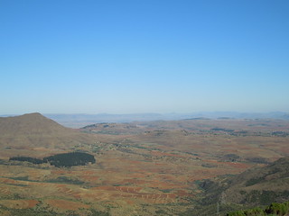
And wonderful views as the plains stretched out before us.
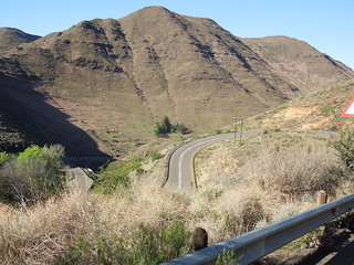
Still plenty of z bends.
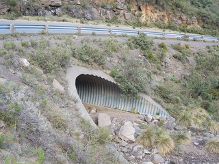
Martin stopped to show me an armco culvert: part of my ongoing survey education.
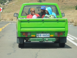
Travellers too.
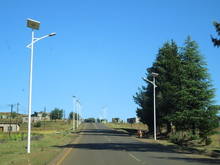
And then we hit lampposts. Not literally of course.
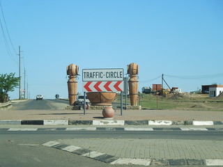
Maseru has a nicely labelled roundabout.
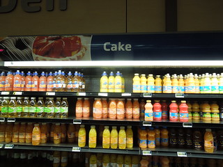
At a quick coffee stop I found Lesothon cake?
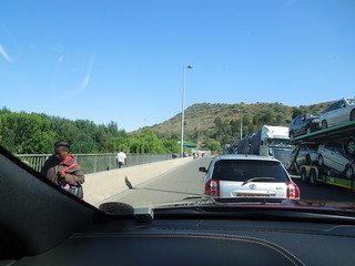
And then it was through the border back into South Africa. This is the no-mans-(no womans?)-land.
We drove over 12 hours across the north of Lesotho and through KwaZulu Natal province.
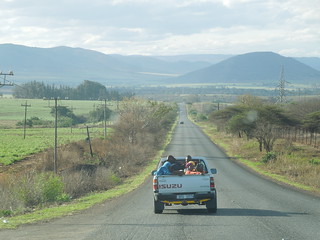
We eventually entered Swaziland at Golela then drove with the setting sun up towards Vuvulane.
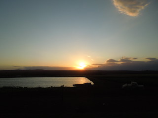
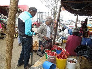
A few days business in Swaziland passed smoothly, give or take my eternal frustration at gaining reliable access to the internet. We did manage some chilli shopping though.
Our route back to Johannesburg took us to this wonderful service station.
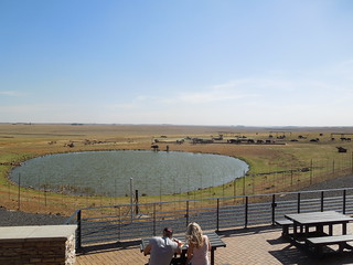
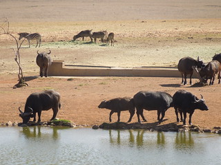
You don't get this on the M5.
All in we drove over 2500km starting/finishing in Johannesburg.

Clarens is an attractive town the Free State.

It is full of craft shops, cafes and relics from the past.

We drove through the Golden Gate Highlands National Park twice - stopping there the first time.

The rocks turn gloriously gold at sunset (just use your imagination).

Not a shabby place to pause and work.

After business in Pietermaritzburg, in which we didn't linger, we overnighted at Himeville and then drove up the wonderful Sani Pass into Lesotho.
My first border crossing of the trip. Many more to come.

The going got tougher as we ascended.


And the views got more spectacular.


You are only allowed entry to the Sani Pass if you're in a 4x4 or on a motorbike (non pillion). However we did also see someone jogging up it and I'm sure it'd be a wonderful mountain bike route too.

It's a popular tourist outing: a run (in a 4x4) up the Sani Pass and back with lunch at the top.

At the top of Africa ... pub wise at any rate.

The view from the balcony shows a series of white cairns which Martin's team surveyed in some years ago. They mark the South African/Lesothon border. You can make out one in the left/mid distance side of the image.

After tea and soup at the Mountain Lodge we headed on into Lesotho. Lesthon humour.

Martin's team surveyed this road a few years ago. It was the first time he'd driven it since it had been tarmaced so I took lots of photos to show our surveyors in Swaziland. It was the first time our Swazi surveyors had woken up in their tents, thought it was a tad nippy, then had to dig themselves out of the snowdrift.

The Chinese bequeathed their rock crushing equipment to Lesotho when they finished road construction. Saves having to dismantle it...

The Sotho population live in these high mountains, tending sheep, cattle, goats and surviving on what they can. I saw few plants and I suspect most of their crops have to be frost hardy. The topsoil is only centimetres deep.


There has obviously been investment in some areas such as these solar panels.

Once the Chinese road had finished, we were onto dirt track for the majority of our journey.

Dry, desolate with zero road signage. We sort of followed our nose and hoped we were heading the right way.

Maps are rare, our sat nav was pretty hopeless (it had no differentiation between "A" roads and village tracks) so occasionally we found an English speaker who'd point us onwards.

Parts of the road had inclines of 20% and were strewn with rocks. And this was the A road.

Ice!

Occasionally we'd follow a set of survey markers ready for the next upgrade of the road. Here we were 9600m to the next road junction.

Satellite dishes appeared further down the valley.

As did the ubiquitous tin-shod drop toilets which adorn the hillside villages.

After hours of bumping and jostling our way over the rocks, zigzagging our way up and down valleys, we spied tarmac. Yay! Sadly it was short-lived and only covered the bridge span.

We met the Orange River. This is the lowest Martin has ever seen it which reflects the longest drought that southern Africa has had for 35 years.

Great views as the sun set that evening.

When we left Lesotho we took the quick route out - tarmac roads towards the northeast and the capital, Maseru. Look - smooth - straight.

And wonderful views as the plains stretched out before us.

Still plenty of z bends.

Martin stopped to show me an armco culvert: part of my ongoing survey education.

Travellers too.

And then we hit lampposts. Not literally of course.

Maseru has a nicely labelled roundabout.

At a quick coffee stop I found Lesothon cake?

And then it was through the border back into South Africa. This is the no-mans-(no womans?)-land.

We drove over 12 hours across the north of Lesotho and through KwaZulu Natal province.

We eventually entered Swaziland at Golela then drove with the setting sun up towards Vuvulane.

A few days business in Swaziland passed smoothly, give or take my eternal frustration at gaining reliable access to the internet. We did manage some chilli shopping though.

Our route back to Johannesburg took us to this wonderful service station.


You don't get this on the M5.
No comments:
Post a Comment