Had a wonderful day off on Tuesday up at The National Archives, Kew. The mapping team were running an exhibition on military mapping. What a fab day. The morning was spent listening to a few presentations from the knowledgeable staff and I was pleased, as I sat at the back, to recognise some familiar heads in the audience. See? I'm not the only addict. As ever I was one of a few females there and 20 years younger than most others: one day I'm not going to be able to say that, sniff.
In the afternoon we pored over a collection of exhibits the curators had found for us.
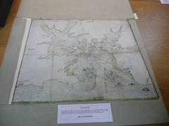
The earliest one was a chart from 1587 showing anticipated cannon range. Obvious forward planning in case of an attack of Plymouth by the Spanish Armada.
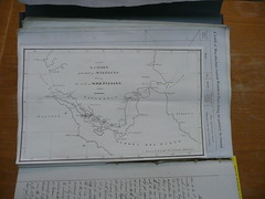
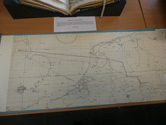
I liked this chart showing the tracks of HMS FISGARD. If you zoom in enough you can see where the ship tacked into the wind.
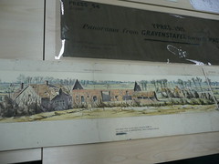
More recently a beautiful (if you can call anything to do with the Flanders campaign beautiful) WWI painting of a photo montage showing the destruction of Ypres.
And an air chart of the routes to be taken by the Mohne Dam Busters during the WWII.
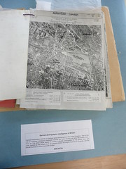
An aerial photo of Acton, London, taken in May 1939 by the Germans.
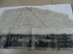
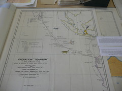
A slightly quirky campaign chart based around Operation Transom, May 1944. We think the FGT is a 'Floating Giant Turtle'.
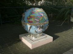
On my way out I lingered over this gorgeous globe. I like mosaics so this is a doubly wonderful find.
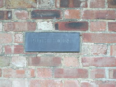
And my final treat came as I walked back to the Tube Station.
All my photos can be found at Military Mapping at the National Archives.


No comments:
Post a Comment