Browsing a GIS website tonight and came across this article about a pretty switched on woman. I have travelled more in Africa than any other continent bar Europe and although by no means an expert on any African topic, I naturally perk up when it's mentioned - especially when GIS involved. Kate has a full-on job trying to keep up with what's happening in Africa. I've just signed up to the SDI newsletter. It's absolutely chocka with GIS initiatives that are happening on the continent - varying from monitoring displaced people in West Dafur to GIS for Marine Aquaculture to satellite weather information on a mobile phone. And what's more encouraging is that, in Kate's words, it's only a smattering of what's going on.
The GSDI covers not only Africa so whatever floats your boat on SDI, click here now.
A light-hearted blog about all things geomatic as seen through the filter of Ruth Adams, a chartered surveyor. It won't be comprehensive, it'll be hydro biased but, hey, it may make you smile ;-)
Saturday, 30 June 2007
Tuesday, 26 June 2007
Map Reading in Amsterdam
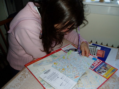
Just been to Amsterdam for the weekend. Nothing at all geodetically heavy, but fascinating that of the few pictures taken of me by my family I'm holding (you've guessed it) a map.
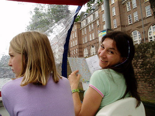
Not that one map is ever enough...

This one is funny. I'm pedalling a canal bike, map reading and steering when I could.

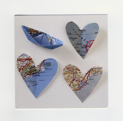
And yesterday was my birthday. What a groovy card eh?!

Not that one map is ever enough...

This one is funny. I'm pedalling a canal bike, map reading and steering when I could.

And yesterday was my birthday. What a groovy card eh?!

Friday, 22 June 2007
Hydro Surveyors Unite!
Happy (belated) World Hydrography Day!
Spent yesterday up at the RICS with a geomatics faculty board meeting. It went really well and we had a good debate on everything geo such as positioning of invert levels; education awards; sustainability (love that word - means very little!); Galileo; the Marine Bill; Ben Bradshaw; World of Geomatics; Intergeo and whether it would ever come to the UK; the Land Registry; silver medal making; how to promote Geomatics to other surveyors; the NIMSA agreement, or lack of [NB- NIMSA = National Interest Mapping Services Agreement and not this which looks more fun]; Geomatics.org; FIG in Hong Kong; the geomatics evening lecture series; GeoSiberia and my favourite, why so few hydrographic surveyors join the RICS. A fun day
Everyone is quite happy that I delay chair of the geomatics faculty until Christmas which suits me fine.
I'm quite relaxed right now succinctly put in a text I received on Tues from my GP friend "you looked well...acting chilled in a trig bagging mania sort of way". Ah, a woman has to have a bit of fun doesn't she? Off to Amsterdam tomorrow for a wee break. Do you think I'll find one? My girls despair of me.
Tuesday, 19 June 2007
Foiled
Couldn't find the trig pillar yesterday  despite hopping over a few fences, under some barbed wire and through some mud. Where on earth is it?! Arrived to collect my GP friend with soggy jeans from the knees down and squelchy shoes leaving a wet trail wherever I walked. He, meanwhile, was in his snappy suit. All I needed was wellies and a flat cap and he would have certainly thought me archetypal land surveyor
  .
.
We had a nice chat about why we do what we do. He is writing a dissertation on the risk of private/public partnership (or something gripping like that). He quite likes his job. "But you," he declared looking at me "you absolutely love what you do. It's more than a job for you. It's your passion." (says I writing a geeky blog). He has encouraged me that once I take Chair of Geomatics I must get on the education bandwagon and start telling the other RICS surveyors what we do. "You're actually quite interesting" he commented.
Thought about visiting a trig pillar today as up near Tiverton but too distracted by work thoughts; and then it poured down and my shoes still aren't dry from yesterday!
Sunday, 17 June 2007
Exeter Trig Pillars
This is very sad. Just hunting on my lovely trig pillar site to see where the Exeter trig pillars are, when I realise I've already blogged one! Yes, the horse trig pillar I found is actually TP5282. Its description of "toppled or moved" is spot on. They don't (yet) have a category for 'adorned with horse head' though. 
Maybe I could find this one tomorrow? I'm actually Exwick way as I'll be picking up someone for lunch. I've just had a text from a GP (General Practice) surveyor who I met at a conference in Germany. He'll be in Exeter tomorrow and is free for an hour or so. When in Munich I spent my time trying to work out why he liked doing what he does (I've never got my head around GPs) whilst simultaneously giving him a lecture about the limitations of Google Earth. Poor chap!
Maybe I could find this one tomorrow? I'm actually Exwick way as I'll be picking up someone for lunch. I've just had a text from a GP (General Practice) surveyor who I met at a conference in Germany. He'll be in Exeter tomorrow and is free for an hour or so. When in Munich I spent my time trying to work out why he liked doing what he does (I've never got my head around GPs) whilst simultaneously giving him a lecture about the limitations of Google Earth. Poor chap!
Saturday, 16 June 2007
Measuring a River from Source to Mouth
Ah, so now the Amazon is the longest river. Or so it claims to be. Best re-write all those pub quiz answers eh?
Saturday's connundrum. When does a river become the sea/ocean - to where do you measure? Perhaps there will never be a precise answer to that?
Saturday's connundrum. When does a river become the sea/ocean - to where do you measure? Perhaps there will never be a precise answer to that?
Friday, 15 June 2007
Submerged Wave Energy System
So these are a not hazard to shipping then? I quote,
"AWS said that because the system was submerged below the surface, it was "invisible" and would not cause a visual impact or become a hazard to shipping."
Let's hope it operates 'at least' 6m below the sea level (and which sea level is that - presumably lowest water?). Doesn't give these beasts much of a chance does it? Perhaps they're only putting them in shoaler water which tankers wouldn't pass through? Hey, I'm not against alternative energy but I am very pro safe navigation at sea.
Thursday, 14 June 2007
Envisat in the Lincoln Sea
A mini post tonight from me. Just been reading about Cherry's 'Worst Journey in the World' (which I really must sit down and read one day) and wonder how different the Scott expedition would have been if satellites were around then. Envisat has certainly saved the Arctic Arc expedition. The mini-movies of ice movements are fascinating.
Saturday, 9 June 2007
Another Government Report
OK, perhaps they're not coming thick and fast out of the UK Government but it was only in April that I read the report on the release of Public Sector Information.
And lo and behold, there's another one. OK, this report focuses more on the application of technology and how this should be used pan-government and, of course, including the general public. At 57 pages on a Saturday evening the Power of Information didn't have my full attention. I'll tackle it again no doubt.
My key question is what happens now? Reports ooze out from government but who is meant to take the next step? And who is accountable for it? Who decides who wins and who loses? [working on my life principle that win-wins don't happen everytime].
The exam papers for the Plymouth University course I am an external examiner for have arrived. So I now have something to keep me out of trouble for a few days. ;)
Friday, 8 June 2007
Friday Fun
Phaffing around on the net (again) this evening and came across this site. The games are worth mucking around on - that's if you don't have anything far better to do, which I obviously don't! Did pretty well on the South Africa geography but absolutely pants on West and North Africa. Got 100% on the geography of Africa though so perhaps all is not lost. Couldn't work out how to do the Alienz one though. Am I thick?
Like their board games too such as the Passport to Culture. And how about these?!

Like their board games too such as the Passport to Culture. And how about these?!

Friday, 1 June 2007
Funny That
After my blog yesterday about Google Maps I found it a bit spooky to read in today's Guardian about councils bypassing Ordnance Survey for Google Maps. A very interesting article and who can blame the councils? If they get cheaper data which is fit for purpose then why not use it? OK, I wouldn't use Google data for measurement and there is no info about source, quality, accuracy or date which are vital if you need to use the mapping for legal reasons. But for showing where schools are, or where the local library is - why not? There will always be a place for reliable and accurate data. Ordnance Survey data will not be lost to the nation (as it were) but I believe the two can co-exist.
Without going into rant mode one of my pet hang-ups is the lack of metadata with geospatial data. Data without background info is only partially useful. Unless the user knows how good/bad their data is they can't use it in the best way. We continue to hear of horror stories where people have placed their faith in GPS positions without realising that it's not accurate to the 4 decimal places of second that the read out is given to. But perhaps it's not anyone's fault? It's an education issue too.
Without going into rant mode one of my pet hang-ups is the lack of metadata with geospatial data. Data without background info is only partially useful. Unless the user knows how good/bad their data is they can't use it in the best way. We continue to hear of horror stories where people have placed their faith in GPS positions without realising that it's not accurate to the 4 decimal places of second that the read out is given to. But perhaps it's not anyone's fault? It's an education issue too.
Subscribe to:
Comments (Atom)