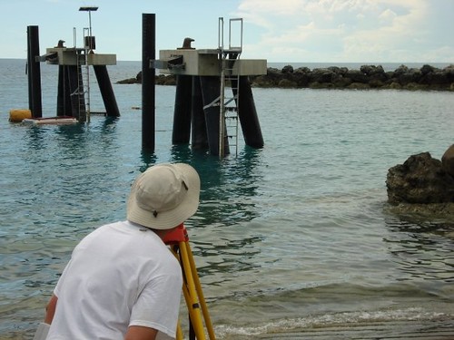
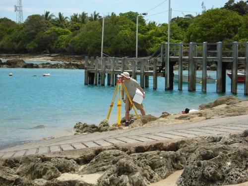
"We were conducting 25 hour tidepole-gauge comparisons at our 4 shore stations in the islands for final QC purposes at the end of the survey. This was to ensure we had the same level of agreement we saw during the initial installation back in June 08 and to check that nothing had moved appreciably. The first two islands, Sue and Yam, were a dawdle even if we did have to get wet and clean the poles
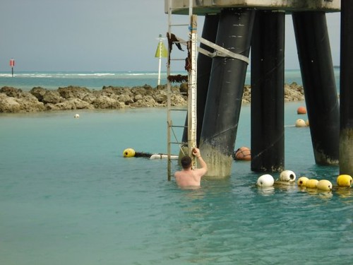
but the last two had no poles (destroyed at Mabuiag; never permanently installed at Badu), which is why we ended up using the levelling staff as a temporary TP
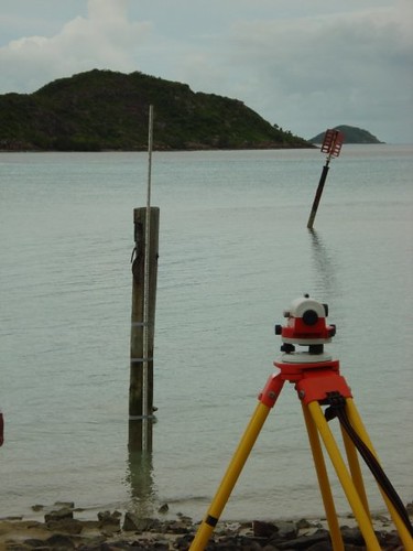
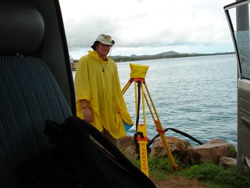
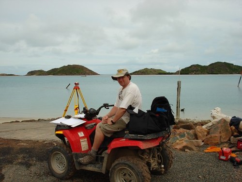
and establishing an approximate sounding datum until we could calculate where the zero actually was then correct to CD. At Mab, we installed the pole then borrowed another levelling staff from a local engineering contractor; at Badu we did our measurements first then because we had the time we did the levelling afterwards. I took some photographs which help explain the various venues, tidepole issues and just generally about the islands and the inhabitants."
The evidence:
And some locals...

2 comments:
R - The kids are on Yam and all surveyors look the same from a distance, even the landies and the droggies! D
I think I'll get you to write this next time.
Post a Comment