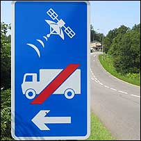
Meanwhile, back in the UK (or is it France? Belgium?) a Christmas shopping exhibition goes astray courtesy of our never-ending trust in sat nav systems ...


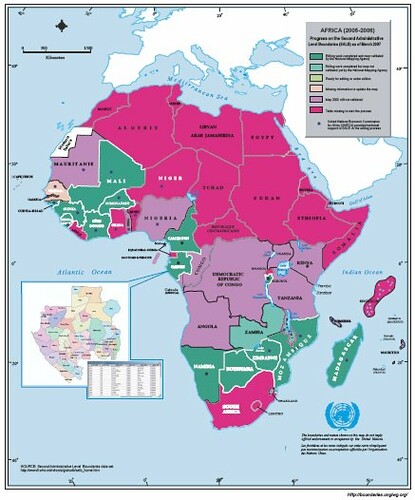
These forest fires in Algeria are clearly seen on MODIS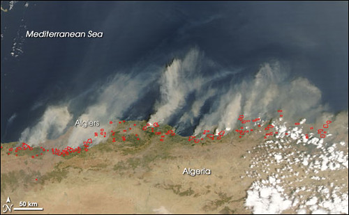
as is flooding in Sudan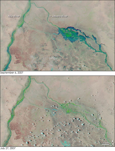
and volcanic activity in Ethiopea.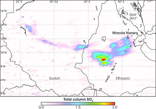
It is truly amazing what you can do with imagery but I'm sure we're only using a small part of its real potential.
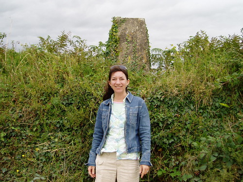
It was sad to read about the closure of the Geoinformatics and Survey course at the University of Zimbabwe due to lecturer shortages. Who can blame anyone for seeking pastures new? If you read on you'll see that the government is now so short of surveyors it is considering allowing undergrads to work. This will surely reduce the incentive to finish a degree if you can be licensed to operate before completing it? But perhaps few in Zimbabwe are currently in a position to be too long-sighted...
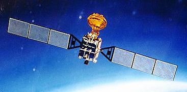 What is interesting about it is the fact that unlike 'classical' GNSSs that I was bought up with, this only needs 2 satellites to obtain a fix. Not that this does it by magic. It employs a central ground control station and user terminals with receive and transmit. With only two satellites it is accurate to 100m accuracy but with more satellites the accuracy can be increased to under 20m. Because the ground control station sends and receives data from each receiver the system can only serve up to 150 users simultaneously. The user receivers/transmitters are also bulkier than a GPS receiver and need more power. More information can be found here. [Although this only mentions 4 satellites and I believe they have launched a spare 5th, but not currently in a geostationary orbit].
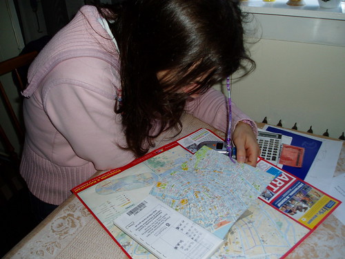
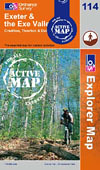 It is part of the Ordnance Survey initiative to provide 1:25 000 maps to year 7 pupils across the UK. My daughter is delighted with her "very own map" and poured over it spotting routes she knows and places she visits. She also spent a while on the OS Mapzone area which is full of geo related games. I might have a try later